Ngāi Tahu – Cultural Mapping Project

Māori place names from Lake Wānaka to Rakaia

Rāwiri Te Maire Map, 1898

This map of Māori place names from Lake Wānaka to Rakaia is based on information provided by the well-known Ngāi Tahu leader Rāwiri Te Maire. In 1896 the District Surveyor Thomas Brodrick was directed by the Surveyor-General to secure 'the native names of the mountains, rivers and passes' in South Canterbury. After several visits to Arowhenua pā, Brodrick was referred to Rāwiri Te Maire at Waihao. Although Te Maire was bedridden during Brodrick's visit in September 1898, he became very talkative. With Te Maire's son Henare acting as interpreter and granddaughter Kiti Tau recording the names, Te Maire provided Brodrick with over 150 Māori place names from Lake Wānaka to Rakaia. Although Te Maire was nearly 90 years old at the time, Brodrick remarked that 'it was quite apparent that Te Maire knew exactly what he was talking about and he was able to describe many of the geographical features in such a manner that I recognized them at once from the descriptions.'

Rāwiri Te Maire

Rāwiri Te Maire (1808 - 1889) was a rangatira of considerable status and a staunch advocate for Ngāi Tahu during the mid to late 1800s. A driving force behind Te Kerēme (the Ngāi Tahu Claim), he fought tirelessly for the land and resource rights of Ngāi Tahu to be recognised. Te Maire retained a vast knowledge of tikanga Māori, traditional ways of life, Ngāi Tahu history and many of the original Māori place names of Te Waipounamu. Te Maire spent his formative years in the Wānaka and Hāwea region, and was among a small group of people residing at Lake Hāwea who escaped in time to avoid the southern attacks of Ngāti Tama led by Te Pūoho.  Te Maire eventually settled at Waikouaiti, and married Merika Heikura. He was the first of several rangatira to be baptised into the Wesleyan faith by the missionary James Watkin, and was one of the people who led over one hundred people to camp near Ōmārama in 1877 to assert ownership of the South Island high country.

Rāwiri Te Maire, c1860s. Alexander Turnbull Library, PA2-2605.

Picture

Back row (left to right): Merekihereka Hape, Horomona Pōhio, Tamati Tikou, Teone Kipa. Tame Parata is in the centre of the group. Front row (left to right): Rāwiri Te Maire, Tieki (Jack) Miller, John Driver. Bill Dacker Photograph Collection, Toitū Otago Settlers Museum, WDRC007

Request to Collect Māori Place Names in South Canterbury

When Stevenson Percy Smith was appointed Surveyor General in 1889 he placed an emphasis on the Department of Lands and Survey to actively collect and preserve Māori place names. In 1893 Smith wrote to John William Marchant (Chief Surveyor Canterbury) directing him and his staff to actively undertake this work which led to a flurry of activity in the Christchurch office of the Department.

In 1895 Smith requested that the Chief Surveyor Canterbury allow one of his officers "to visit the natives at the Temuka Pah with the idea of securing the native names of many of the mountains, rivers, passess etc in that neighbourhood …. I have to request that you will take the very first opportunity of carrying out the arrangements made: for every day lost lessens the chance of obtaining that information we are in search of."

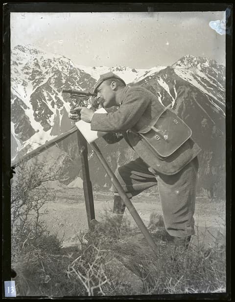
This task was passed onto District Surveyor Thomas Noel Brodrick. Appointed to the position in 1888, Brodrick was based at Timaru where he was initially responsible for surveying the mountain boundaries of many pastoral runs. This work necessitated Brodrick to undertake a comprehensive topographical survey and triangulation of most of the eastern side of the Southern Alps.

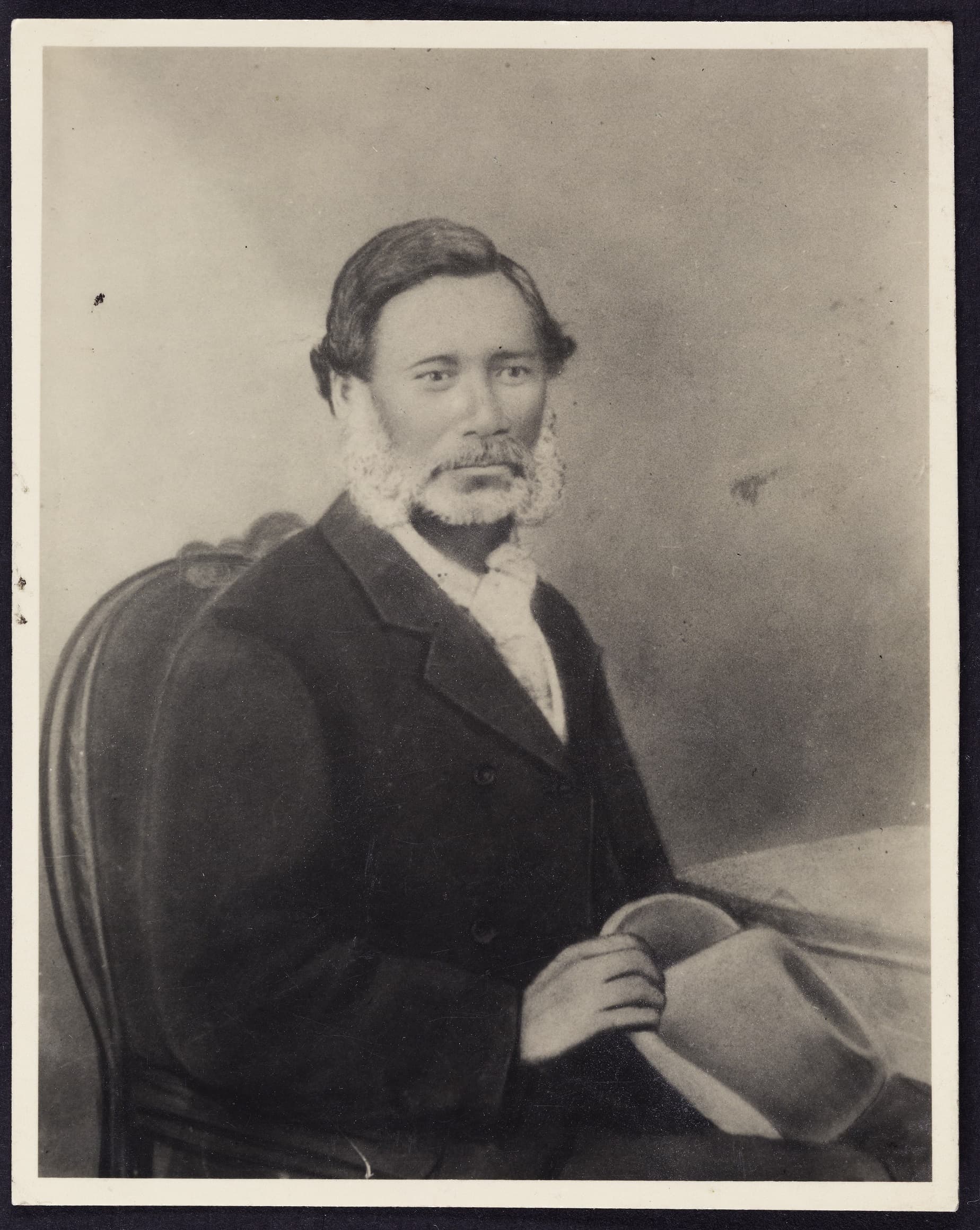
Brodrick visited Arowhenua pā on several occasions with very little success. As Brodrick described 'the Maoris are so often away from the pah or at least the ones who are said to possess the knowledge that is very difficult to meet them.' Eventually, in September 1898 the people of Arowhenua referred Brodrick to an 'old Māori called Rawiri Te Maire living at the Waihao Pah who might possess the information.'

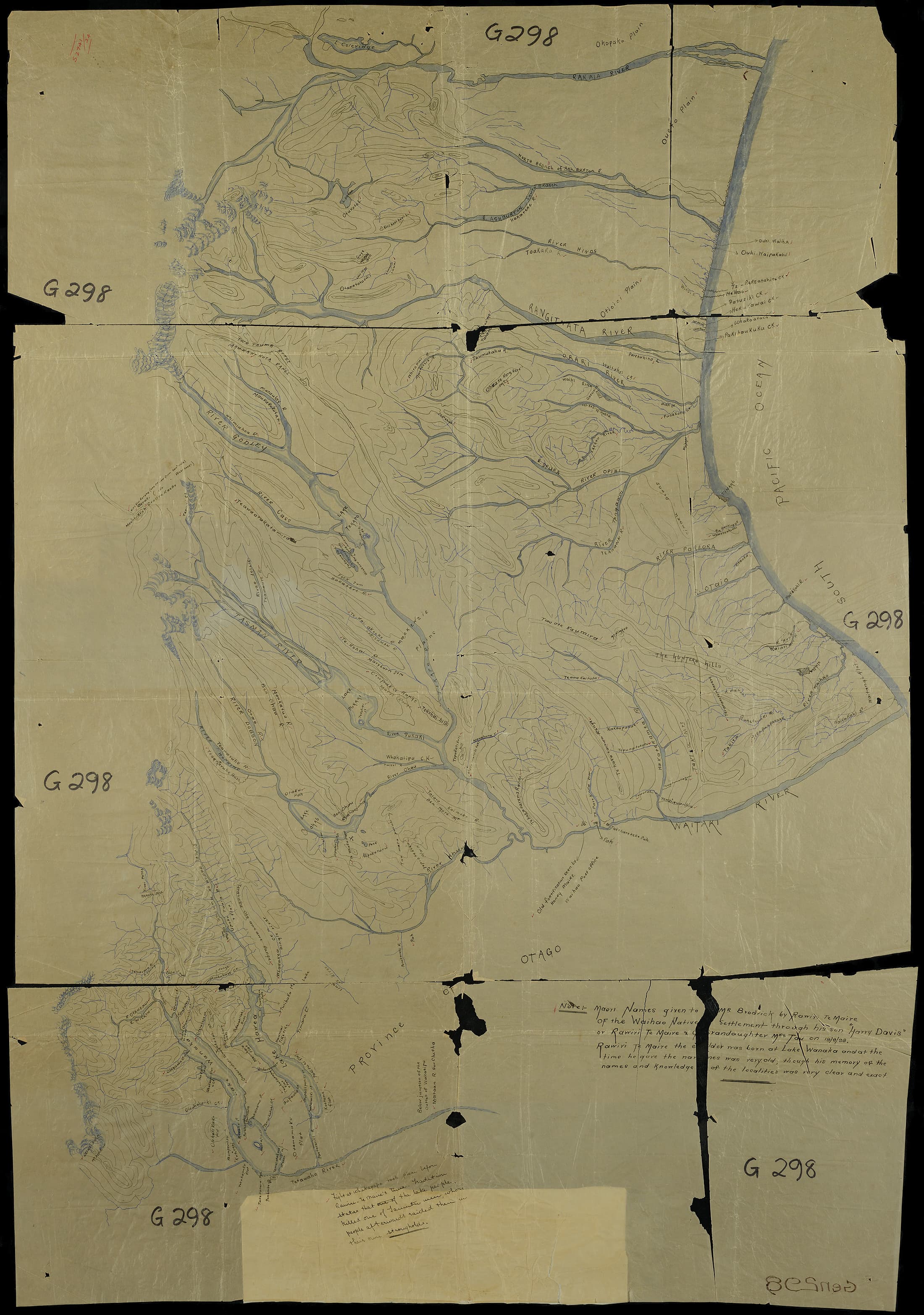
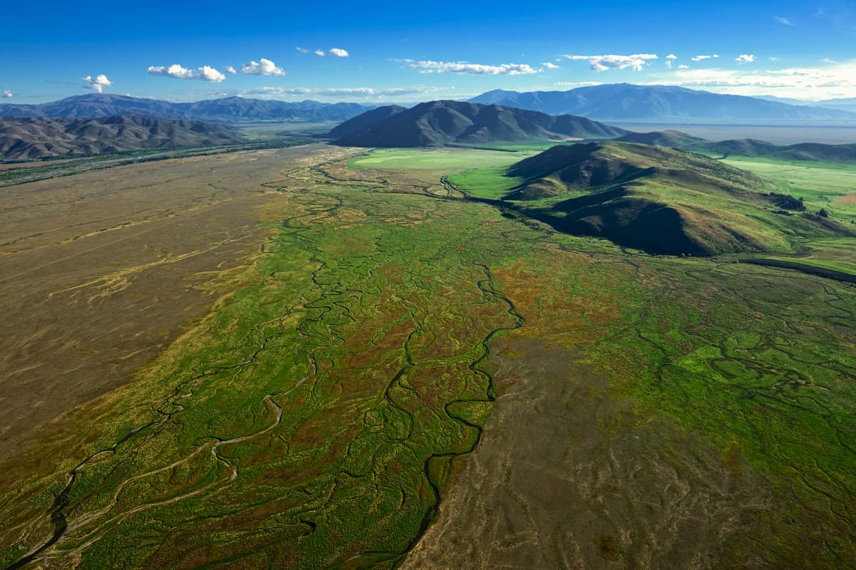
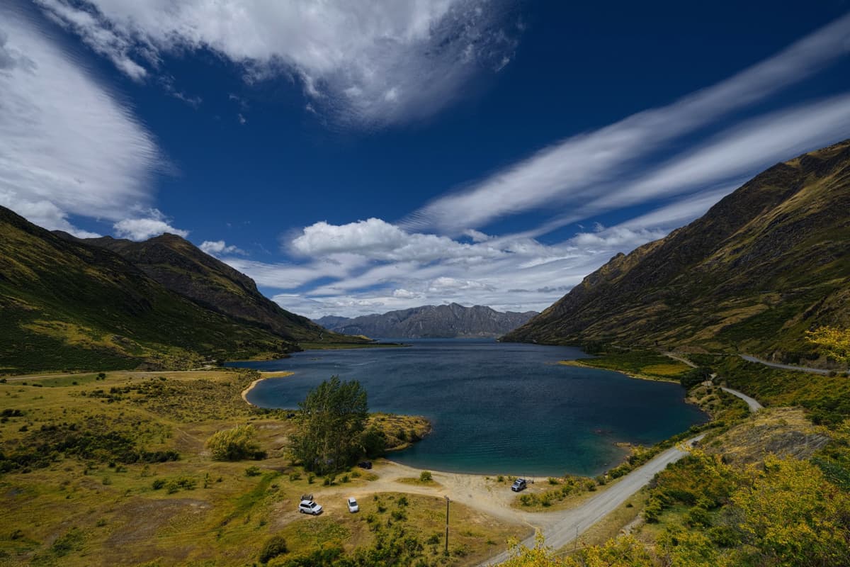
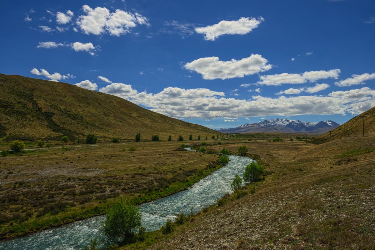
Brodrick soon travelled by train to the small Ngāi Tahu kāika of Waihao in South Canterbury. He described Te Maire as 'a very old, light-coloured Maori, tattoeed on the right side of his face only'. Although Te Maire was lying ill in a bed on the floor, he was 'in perfect possession of his mental faculties and seemed to like talking of old times'. With Te Maire becoming talkative and son Henare acting as an interpreter and granddaughter Kiti Tau writing the names, Brodrick gathered over 150 Māori place names between Lake Wānaka and Rakaia, including the most detailed account of Māori place names in the lakes Wānaka and Hāwea region, and Te Manahuna (the Mackenzie Basin).

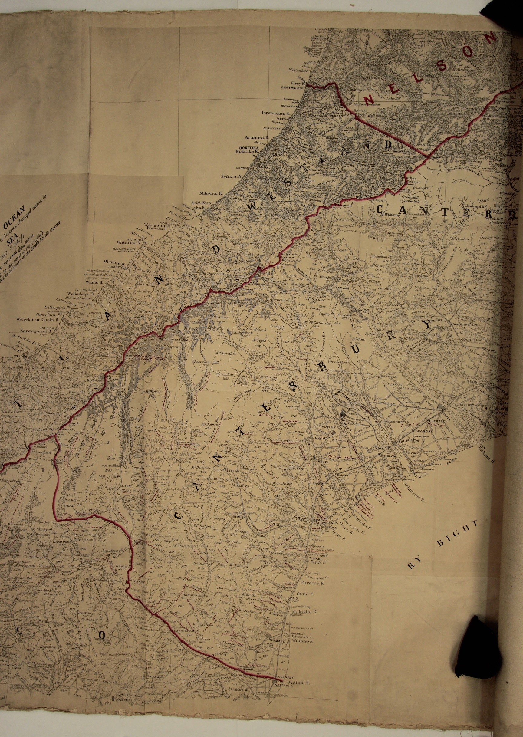
On 25 April 1899 Brodrick sent the Surveyor General, via the Christchurch Office of the Department of Lands and Survey, a tracing which marked the Māori names of the mountains and rivers in South Canterbury provided by Rāwiri Te Maire. Attached with the tracing is a letter in which Brodrick describes how surprised he was of Rāwiri Te Maire's knowledge and how Brodrick knew exactly of the places that Te Maire was describing.

Thomas Noel Brodrick. Courtesy of South Canterbury Museum.

Survey Map of Māori Place Names

When the Christchurch office of the Department of Lands and Survey received Brodrick's tracing they decided to record the Māori place names onto one of their own maps before sending the tracing onto the Surveyor General in Wellington. The Department believed it would be a good idea to have a map specifically for the purpose of recording Māori place names. This map is located below, and the place names recorded on the map in red pen are from Rāwiri Te Maire.

Lands and Survey Department library, 1930s. W.A Taylor photograph , Canterbury Museum

“I was surprised to find what a good knowledge of all the country this old man [Rāwiri Te Maire] possessed and what a clear memory for the names, it was quite apparent to me that he knew exactly what he was talking about and he was able to describe many of the geographical features in such a manner that I recognized them at once from the descriptions.”

Letter from Thomas Brodrick to the Chief Surveyor, 25 April 1899
<p>Ōtūroto (Lake Heron) 
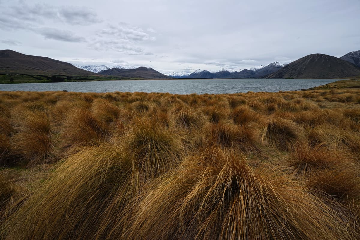
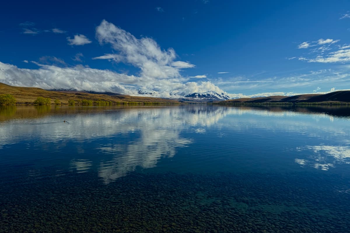
is part of Ōtūwharekai (the Ashburton Lakes). Ōtūroto is drained by Lake Stream at the northern end of the lake into Rakaiawaikī (the southern branch of the Rakaia River). During the 1879 Smith-Nairn Royal Commission of Inquiry into the Ngāi Tahu land claims, Ngāi Tahu kaumātua recorded that Ōtūroto was a kāinga nohoanga (settlement) where weka, aruhe (bracken fernroot), and kāuru (cabbage tree root) were gathered. The name Lake Heron was given to the lake by early European runholders, because of the large numbers of kōtuku (white heron) frequenting the lake.</p>
<p>Te Rūnanga o Ngāi Tahu Collection, Ngāi Tahu Archive, 2014-103</p>

Place Names Recorded by Rāwiri Te Maire

View gallery